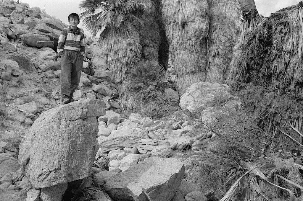
1981 | Into Death Valley from the East
For me, driving is not the same as finding pictures. The far-forward view of the attentive and anticipatory driver doesn’t often pay off in finding vantage points. The narrowed view, the speed, the isolation from physical textures of pavement, gravel, soil, grass, the odd debris or artifact, all conspire against my apprehension of a physical relation to the place.
So at some signal, or point, or level of fatigue, or frustration with driving so far without stopping for a picture at every impulse, I pull over.
Once my feet are on the ground, it’s a matter of feeling and seeing what kind of road I am on, and how it might match up with my personal path through this landscape. When my own path seems congruent, lightly and transparently superimposed on the surveyor’s map, then there might be a picture for me.
That doesn’t really explain why I find this view of this particular stretch of road so engaging, but I know it qualifies to be in my folder marked ‘Odd Highways.’